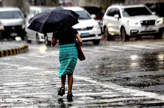

MANILA – The Intertropical Convergence Zone (ITCZ) will bring cloudy skies with scattered rains and thunderstorms over parts of Luzon, Visayas and Mindanao on Sunday, the state weather bureau said.
In its 4 a.m. weather forecast, the Philippine Atmospheric, Geophysical and Astronomical Services Administration (PAGASA) said the Bicol Region, Mimaropa, Western Visayas, Negros Island Region and Mindanao will experience cloudy skies with scattered rains and thunderstorms due to the ITCZ.
Similar conditions are expected over Metro Manila, Calabarzon, parts of Cagayan Valley, Aurora, Nueva Ecija and Bulacan due to the easterlies.
Batanes, meanwhile, will have cloudy skies with rains due to the northeasterly windflow, with possible flash floods or landslides.
The rest of the Visayas and Luzon will experience partly cloudy to cloudy skies with isolated rain showers or thunderstorms due to the ITCZ and localized thunderstorms, respectively.
PAGASA warned of possible flash floods or landslides during periods of heavy rain.
Meanwhile, Typhoon Koguma and a tropical depression remain outside the Philippine Area of Responsibility (PAR) as of 3 a.m.
The typhoon was located 2,795 kilometers east-northeast of extreme Northern Luzon, with maximum sustained winds of 175 kph near the center and gustiness of up to 215 kph. It was moving northwestward at 20 kph.
The tropical depression was located 2,940 kilometers east of Southern Luzon, packing maximum sustained winds of 45 kph and gustiness of up to 55 kph. It was moving east-northeastward at 20 kph.