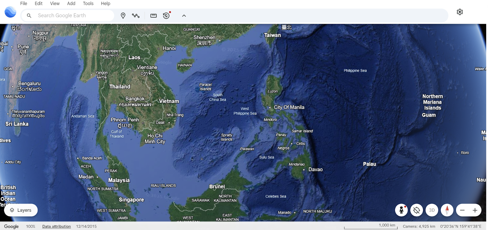

This year, Google Earth celebrates its 20th anniversary — two decades of reshaping how we explore, understand, and connect with our planet.
What began as a groundbreaking experiment in 3D mapping has evolved into a powerful platform that’s been downloaded over 100 million times in its first week alone back in 2005 — and continues to captivate users around the world. In just the past year, Google Earth users searched for locations more than 2 billion times, proving its enduring relevance in a constantly changing digital landscape.
But Google Earth has always been more than just a map.
When Hurricane Katrina struck the U.S. in 2005, Google Earth became an unexpected hero — helping first responders access real-time imagery to aid in rescue operations. Since then, scientists have used it to spot previously undiscovered coral reefs, track environmental changes, and even identify a new species of ancient human ancestor in Africa. And then there’s the extraordinary journey of Saroo Brierley, who used Google Earth to trace his way back to his birth family in India — a real-life story that touched the world and inspired the Oscar-nominated film Lion.
To mark its 20th year, Google Earth is rolling out a major new feature: historical Street View imagery. For the first time, users can step back in time and witness how streets, cities, and landscapes have changed through the years — all within Google Earth. Whether you’re curious about how your hometown has grown or want to revisit a favorite vacation spot from a decade ago, this new feature adds a powerful time-travel element to your virtual explorations.
This upgrade joins a suite of other game-changing tools that have been added over the years. The Timelapse feature, for instance, offers an eye-opening look at how climate change and human development are reshaping Earth. Meanwhile, Google Earth’s creation tools allow storytellers, educators, and researchers to build interactive maps and guided tours — turning geography into a shared experience.
For professionals, Google Earth has become a vital tool in fields like urban planning, environmental monitoring, and even solar panel installation assessments. Its real-world applications are as vast as the globe it represents.
Ultimately, Google Earth is a reflection of its users — a global community of millions who have used it to explore the unknown, rediscover the familiar, and share stories that transcend borders.
As Google Earth steps into its third decade, it does so with a renewed sense of purpose: to continue empowering people to see, understand, and care for our ever-evolving world.
Explore more about Google Earth’s 20-year journey and what’s next.