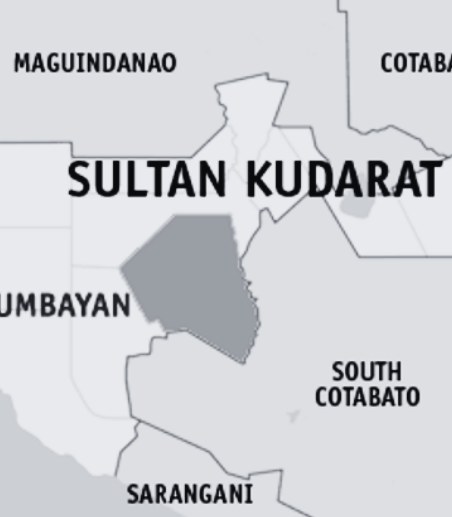

Map data by Google maps.
A magnitude 5.1 earthquake struck waters 38 kilometers southwest of Kalamansig, Sultan Kudarat on Thursday morning, adding to the ongoing swarm of tremors in the area, according to the Philippine Institute of Volcanology and Seismology (Phivolcs).
Phivolcs said the tectonic earthquake occurred at 7:43 a.m. and originated at a depth of 10 kilometers.
Instrumental Intensity II was recorded in T’Boli and Surallah in South Cotabato, as well as Palimbang and Lebak in Sultan Kudarat, the agency reported.
Intensity I was felt in Malungon and Maitum in Sarangani; Santo Niño, Norala, Tupi, and Banga in South Cotabato; Isulan and Esperanza in Sultan Kudarat; and Zamboanga City.
Phivolcs added that a total of 2,264 earthquakes had been recorded offshore of Sultan Kudarat from 10:52 p.m. on January 19 to 7 a.m. on January 29 as seismic activity continued in the area.
Of the total number, 677 earthquakes were plotted with magnitudes ranging from 1.3 to 5.9, while 84 tremors were reported as felt, the agency said.
Amid the continuing quakes, the local government of Surallah, South Cotabato suspended classes at all levels on Thursday to allow inspections of school buildings.