
(Photo by PNA)
The Department of Environment and Natural Resources (DENR) has intensified its monitoring of drought, water shortages, and other El Niño-related threats using satellite technology, automated weather stations, and digital risk mapping.
In a statement Tuesday, October 13, Environment Secretary Juan Miguel Cuna said the agency is strengthening its early warning systems through Automated Weather Stations (AWS), Satellite Heat Stress Mapping, and Geographic Information System (GIS)-based risk modeling.
The technologies allow authorities to detect rainfall deficits, declining water levels, rising temperatures, and other environmental changes that could threaten communities and ecosystems.
“In an era of accelerating climate extremes, timely information saves ecosystems and lives,” Cuna said.
He emphasized that modern monitoring systems enable the DENR to shift from reactive responses to more precise, data-driven environmental protection.
In Catanduanes and Masbate, DENR personnel are analyzing daily weather station readings to identify drying waterways, forest areas, and coastal ecosystems showing signs of water stress.
The information helps local authorities issue drought advisories and implement conservation measures in vulnerable agricultural and coastal communities.
At the Agusan Marsh Wildlife Sanctuary in Caraga, automated weather stations are tracking temperatures, rainfall shortages, and water levels to identify areas at risk of peatland fires.
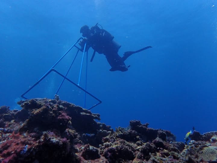
The agency is also using satellite-derived sea surface temperature data to monitor coral bleaching threats.
In Aurora province, elevated sea temperatures triggered Coral Bleaching Alert Level 1 warnings in May, June, and July 2026, prompting reef monitoring activities in Aurora, Bataan, and Zambales.
According to the US National Oceanic and Atmospheric Administration (NOAA), coral bleaching occurs when stressed corals expel the algae living in their tissues, leaving them white and more vulnerable to starvation.
Meanwhile, the DENR has established a Red Flag Alert System in the Ilocos Region, supported by 10 ranger stations equipped with lookout towers.
The system works with the Philippine Atmospheric, Geophysical and Astronomical Services Administration (PAGASA) and local disaster risk reduction offices to detect potential wildland fires.
Cuna said the agency is also directing regional offices to promote water conservation, monitor available water resources, and prioritize communities facing dry spells and possible drought conditions.
“We are equipping our field teams and local chief executives with real-time environmental intelligence to safeguard our forests, coral reefs, water resources, and coastal communities before severe damage occurs,” he said.
The DENR has instructed its regional offices to maintain continuous transmission of weather station data and require marine monitoring teams to submit weekly reef assessment reports through its national monitoring portal.
The agency said the information will support drought preparedness, water resource management, and climate adaptation efforts as the country prepares for the possible impacts of El Niño.