
Photo courtesy of Pagasa.
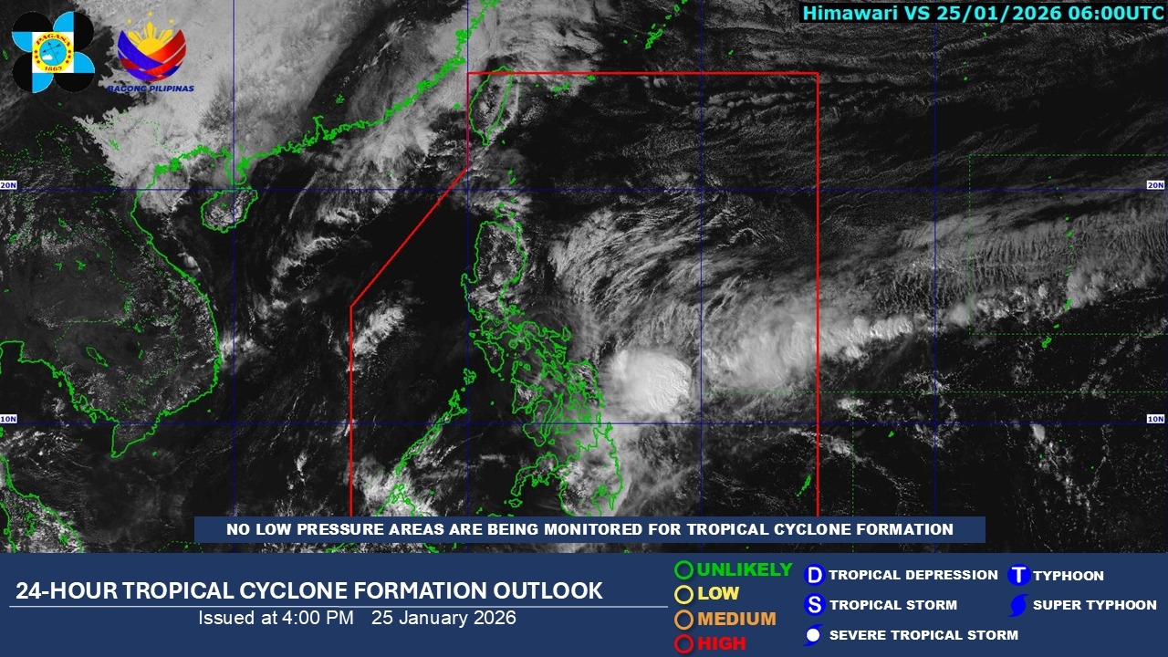
The weather disturbance that briefly intensified into Tropical Cyclone Ada has weakened and dissipated inside the Philippine Area of Responsibility, the Philippine Atmospheric, Geophysical and Astronomical Services Administration (Pagasa) reported Sunday afternoon.
The agency said no other low pressure systems are currently being tracked for possible cyclone development, easing immediate concerns of another storm forming in the near term.
Despite the dissipation, unsettled weather is expected to persist as the shear line and the Northeast Monsoon, or amihan, continue to influence conditions over parts of the country in the next 24 hours.
Cloud cover with intermittent rain and isolated thunderstorms will prevail across Caraga, the Davao Region, Eastern and Central Visayas, as well as Camiguin and Misamis Oriental, largely due to the shear line, Pagasa said.
Other areas of Mindanao are likely to see partly cloudy to cloudy skies with occasional rain showers or thunderstorms brought about by localized weather systems.
State meteorologists cautioned that periods of rain could still lead to flash floods or landslides, particularly in vulnerable or mountainous areas.
Meanwhile, amihan will affect Cagayan Valley, the Bicol Region, Metro Manila, much of Luzon, and the rest of the Visayas, bringing generally fair to cloudy conditions with light rains in some areas but no major weather threats.
Pagasa also warned of brisk winds and rough seas along the eastern seaboards of the Visayas and Mindanao, while moderate to strong winds and moderate to rough coastal waters may be experienced elsewhere across the country.